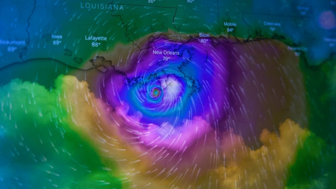
Atlantic Tropical Weather Outlook – Image for illustrative purposes only (Image credits: Unsplash)
Miami – Coastal communities and maritime operators across the North Atlantic, Caribbean, and Gulf of America received welcome news early Wednesday when forecasters confirmed no tropical cyclone development is expected over the next seven days. The update arrives at a time when many residents are already monitoring seasonal patterns and making routine preparations for potential weather shifts. With the official hurricane season still building toward its busiest months, this calm stretch offers a brief window for focused planning without immediate disruption.
Clear Conditions Ahead for the Region
The National Hurricane Center released its tropical weather outlook at 2 a.m. Eastern time, stating explicitly that formation chances remain at zero through the coming week. Forecaster Hagen signed off on the bulletin after reviewing current atmospheric patterns and sea-surface conditions. Those patterns show no organized systems or disturbances capable of strengthening into named storms at this stage. This assessment covers the entire basin from the eastern Atlantic westward through the Caribbean and into the Gulf. Routine satellite monitoring and buoy data continue to support the outlook, with no signs of rapid development on the horizon. Residents and businesses that rely on stable weather for daily operations can proceed with scheduled activities for now.
Practical Effects on Daily Life and Travel
A quiet period like this reduces immediate risks for shipping lanes, fishing fleets, and beachfront tourism. Airlines and cruise lines often adjust routes or schedules when storms threaten, yet this forecast removes that layer of uncertainty for the short term. Families planning weekend getaways or outdoor events gain extra flexibility without last-minute changes. Local emergency managers still urge basic readiness, however. Even in calm conditions, sudden weather changes can occur outside the tropical cyclone window. Officials recommend keeping supplies stocked and reviewing evacuation routes as standard practice. – Monitor daily updates from the National Hurricane Center for any shifts in the outlook.
– Review insurance policies and home preparedness kits during this stable window.
– Stay informed on local flood or thunderstorm alerts that remain possible even without tropical systems.
What Comes Next for the Season
The current lull does not signal an inactive summer overall. Historical patterns show that activity often ramps up later in the season, particularly from August onward. Forecasters will continue issuing twice-daily outlooks to track any new developments as conditions evolve. Communities that use this time to strengthen infrastructure or conduct drills stand to benefit if stronger systems arrive later. The absence of immediate threats simply shifts attention toward longer-range planning and awareness efforts.