End of the Icy Overnight Mix (Image Credits: Fox2now.com)
St. Louis – Overnight temperatures held steady between 34 and 36 degrees Fahrenheit, allowing the Winter Weather Advisory to expire without major incidents.[1][2]
End of the Icy Overnight Mix
Temperatures remained just above freezing through the night, preventing significant ice buildup on roads. Precipitation fell primarily as rain, though isolated sleet pellets and snowflakes appeared sporadically. The National Weather Service confirmed the advisory’s cancellation early Monday.[3] Drivers encountered wet conditions during the morning commute, but no widespread black ice formed.
Local forecasts noted that the mild overnight shift marked the end of immediate winter threats. Roads dried slowly under cloudy skies, with highs reaching the mid-40s during the day. Residents reported minimal disruptions compared to earlier warnings.
Monday’s Cloudy and Damp Outlook
Cloud cover dominated Monday skies, with scattered showers and drizzle possible through the afternoon. High temperatures hovered around 46 degrees, accompanied by east-southeast winds at 10 mph.[4] Overnight lows dipped to near 40 degrees, keeping surfaces slick in untreated areas.
Meteorologists urged caution for early drivers, as standing water posed hydroplaning risks. The pattern of steady moisture set the tone for the days ahead, with little break in the clouds.
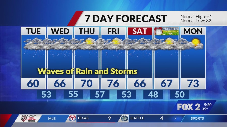
Extended Forecast: Rain and Storm Risks Build
The week ahead promised abundant rainfall, with showers intensifying by midweek. Tuesday brought highs near 63 degrees and chances of thunderstorms, followed by similar conditions Wednesday at 66 degrees.[5] Thursday and Friday saw temperatures climbing to 70 and 78 degrees, respectively, amid ongoing shower threats.
Forecast models indicated potential for heavy downpours, raising concerns for localized flooding. Winds shifted southerly, fueling humid conditions that could spawn isolated severe storms.
| Day | High/Low (°F) | Precip Chance |
|---|---|---|
| Monday | 46/40 | 40-60% |
| Tuesday | 63/48 | 80% |
| Wednesday | 66/52 | 80% |
| Thursday | 70/57 | 60% |
Impacts and Preparation Steps
Prolonged wet weather could affect outdoor plans, commuting, and river levels. Urban areas faced slower traffic, while rural spots dealt with muddy fields. Officials recommended checking National Weather Service updates for real-time alerts.[3]
Residents prepared by securing outdoor items and monitoring basements for water intrusion. Here are key preparation tips:
- Clear gutters to prevent overflow.
- Equip vehicles with good wiper blades and tires.
- Stay informed via local apps for flash flood warnings.
- Limit travel during peak rain periods.
- Have flashlights and chargers ready for power outages.
Key Takeaways:
- Icy advisory ended; focus shifts to rain.
- Midweek storms possible with warming temps.
- Monitor roads and rivers for rising water.
As St. Louis navigates this soggy stretch, the quick pivot from winter chill to spring-like storms underscores the region’s variable climate. Plan accordingly to stay safe and dry – what’s your go-to for rainy weeks? Share in the comments.
- Beavers Are Nature’s Engineers, Creating Vital Habitats for Other Wildlife Species - July 21, 2026
- The Recovery of the California Condor Offers Hope for Other Critically Endangered Birds - July 21, 2026
- Bats Play a Crucial Role in Controlling Insect Populations Across the United States - July 21, 2026