

In the vast, unexplored depths of our oceans, a revolutionary scientific approach is emerging that combines marine biology with geology in an unexpected way. Scientists have begun harnessing the powerful, low-frequency songs of whales to map the ocean floor—a technique that promises to transform our understanding of underwater topography while minimizing human impact on marine ecosystems. This innovative method leverages the natural behaviors of some of Earth’s largest mammals to gather critical data about one of our planet’s least accessible regions. By analyzing how whale vocalizations interact with the seabed, researchers are uncovering details about underwater mountains, trenches, and geological formations that have remained hidden from human observation.
The Challenge of Mapping Our Ocean Floors

Despite oceans covering more than 70% of Earth’s surface, we have mapped less than 25% of the ocean floor at high resolution. This knowledge gap exists because traditional mapping techniques face significant limitations. Ship-based sonar mapping is expensive and time-consuming, requiring vessels to methodically crisscross vast ocean expanses. Such operations often cost tens of thousands of dollars per day and can take months or years to complete relatively small areas. Additionally, the sheer depth of many ocean regions—with some trenches extending more than 36,000 feet below the surface—creates technical challenges for conventional mapping equipment. This lack of comprehensive seafloor data impacts everything from climate science to communications infrastructure planning, making more efficient mapping approaches a priority for oceanographers worldwide.
Nature’s Deep-Sea Acousticians

Whales, particularly baleen whales like blue and fin whales, produce among the loudest biological sounds on the planet. Their vocalizations can reach up to 190 decibels—louder than a jet engine at takeoff—and can travel hundreds of miles underwater. These songs consist primarily of low-frequency sounds (between 10-40 Hz) that penetrate deep into the water column and even into the ocean floor itself. What makes these vocalizations particularly valuable for mapping purposes is their consistency and predictability. For example, fin whales produce regular pulses at around 20 Hz intervals, creating what scientists call “acoustic illumination” of the seafloor. This natural sound production effectively turns whales into mobile sonar platforms that continually probe the ocean depths as they migrate across vast ocean basins throughout the year.
The Science Behind Passive Acoustic Mapping

The technique researchers are developing is known as passive acoustic mapping. Unlike active sonar, which emits artificial sounds and measures their echoes, passive systems simply listen to existing sounds in the environment. When whale songs bounce off the ocean floor, they create echoes that carry information about the seafloor’s composition, depth, and features. By placing hydrophones (underwater microphones) at strategic locations, scientists can capture both the original whale calls and their seafloor reflections. Advanced algorithms then analyze the time difference between direct and reflected sounds, as well as subtle changes in the acoustic signature that occur when sounds interact with different materials. This data allows researchers to create detailed 3D models of the ocean floor without introducing additional noise pollution into the marine environment.
Pioneering Research in Whale-Based Bathymetry

The concept of using whale songs for mapping was first seriously proposed in 2006 by marine geophysicist Emile Okal at Northwestern University, but technological limitations prevented implementation. By 2019, researchers at Oregon State University and the University of New Hampshire began successfully testing the approach in the Pacific Ocean. Their groundbreaking study, led by Dr. Angela Szesciorka, demonstrated that fin whale calls could be used to determine seafloor characteristics with surprising accuracy. The team deployed an array of ocean-bottom seismometers that recorded thousands of whale vocalizations over a six-month period. When compared with traditional sonar surveys, the whale-derived maps showed approximately 80% agreement in seafloor features, establishing proof of concept for this innovative technique. Since then, multiple research institutions including Scripps Institution of Oceanography and Woods Hole Oceanographic Institution have launched dedicated programs to refine and expand this approach.
Technological Innovations Enabling Whale Song Mapping

Recent technological advancements have been crucial in making whale-based mapping viable. New generations of autonomous underwater recording devices can now operate at depths exceeding 20,000 feet for months at a time, capturing the full frequency range of baleen whale vocalizations with unprecedented clarity. Machine learning algorithms have revolutionized the processing of these recordings, automatically identifying whale calls among ocean background noise and extracting the subtle echo patterns needed for mapping. Additionally, improvements in battery technology allow these devices to operate for up to 18 months on a single deployment, creating opportunities for long-term monitoring of seafloor changes. Satellite communication capabilities now enable some floating recording platforms to transmit data in near-real-time, allowing researchers to process information without waiting for equipment retrieval—a significant advancement for urgent applications like earthquake and tsunami monitoring.
Environmental Benefits of Passive Acoustic Mapping
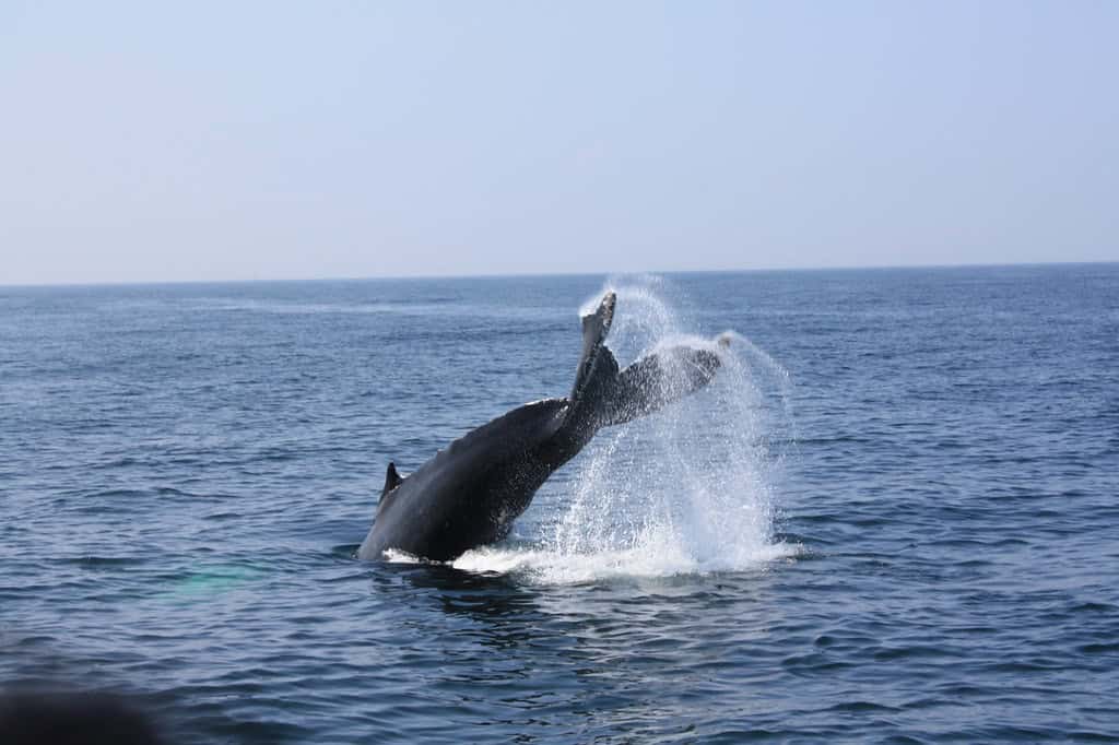
Traditional seafloor mapping methods often rely on active sonar, which involves blasting loud sounds into the water and measuring their reflections. These artificial sounds can reach 235 decibels or more—intense enough to cause behavioral changes and physiological stress in marine mammals, and in some cases, have been linked to mass stranding events. By contrast, passive acoustic mapping creates no additional noise pollution, representing a significant environmental advantage. This approach epitomizes the concept of biomimicry—learning from and adapting natural processes for human purposes without disruption. Furthermore, the distributed network of hydrophones used for whale song mapping simultaneously collects valuable data on whale populations themselves, including migration patterns, population densities, and behavioral changes in response to environmental shifts. This dual-purpose data collection efficiently maximizes scientific value while minimizing environmental impact.
Applications Beyond Basic Cartography

While creating detailed maps is the primary goal, whale-based acoustic mapping offers additional scientific benefits. The technique provides insights into seafloor composition, not just its shape, by analyzing how different frequencies in whale songs interact with various materials. This can help identify underwater resources, from potential minerals to biological hotspots like deep-sea coral reefs. The method also excels at detecting temporal changes in the seafloor, such as those caused by underwater landslides, volcanic activity, or tectonic movements. This makes it valuable for earthquake monitoring and tsunami prediction systems. In areas with active whale populations, the approach offers a cost-effective way to conduct continuous, long-term monitoring of seafloor changes that would be prohibitively expensive using traditional ship-based surveys. Some research teams are also exploring applications for monitoring underwater infrastructure like pipelines and cables for potential damage or deterioration.
Geographic Coverage and Limitations

The effectiveness of whale-based mapping varies significantly by region, depending primarily on local whale populations. The technique works best in areas frequented by vocal baleen whales, particularly the North Atlantic, North Pacific, and parts of the Southern Ocean surrounding Antarctica. Seasonal migration patterns create natural coverage cycles, with some regions receiving better mapping during specific months. However, this approach has limitations. Tropical regions with fewer large whales yield less comprehensive data, and the random movement of whales means coverage isn’t systematic like traditional survey methods. Ocean depth also affects performance—while whale songs can penetrate thousands of meters, ultra-deep trenches may still present challenges. Researchers are addressing these limitations by combining whale song data with other passive sources like earthquake sounds, as well as strategic deployment of recording devices in areas with known whale migration routes to maximize coverage.
The Role of Artificial Intelligence in Processing Whale Data

The sheer volume of acoustic data collected—often terabytes from a single deployment—necessitates sophisticated artificial intelligence to process effectively. Modern machine learning algorithms can now distinguish between direct whale calls and their seafloor echoes with over 95% accuracy, even in noisy underwater environments. Deep learning neural networks have been trained to identify subtle patterns in reflected sounds that indicate specific seafloor characteristics like hardness, roughness, and slope angle. These AI systems can process in hours what would take human analysts months to complete. Particularly promising is the development of “transfer learning” approaches that allow algorithms trained on one whale species to recognize and process calls from other species with minimal additional training. This adaptability is crucial as different whale species vocalize at different depths and frequencies, each offering unique advantages for mapping different aspects of the ocean floor.
International Collaboration and Data Sharing

Whale-based mapping has sparked unprecedented collaboration among marine scientists globally. The International Quiet Ocean Experiment (IQOE), launched in 2015, now incorporates whale acoustics as a mapping tool in its worldwide research efforts. The United Nations Decade of Ocean Science for Sustainable Development (2021-2030) has established a dedicated working group on passive acoustic mapping techniques. These international frameworks facilitate equipment sharing, standardized data collection protocols, and open access to results. In 2022, a landmark agreement between 15 nations established the Global Whale Acoustics Network (GWAN), which maintains a shared database of whale sounds and their seafloor reflections accessible to researchers worldwide. This collaborative approach accelerates progress by allowing scientists to compare acoustic signatures across different ocean basins and whale populations, building a more comprehensive global picture than any single research team could achieve independently.
Future Technological Developments
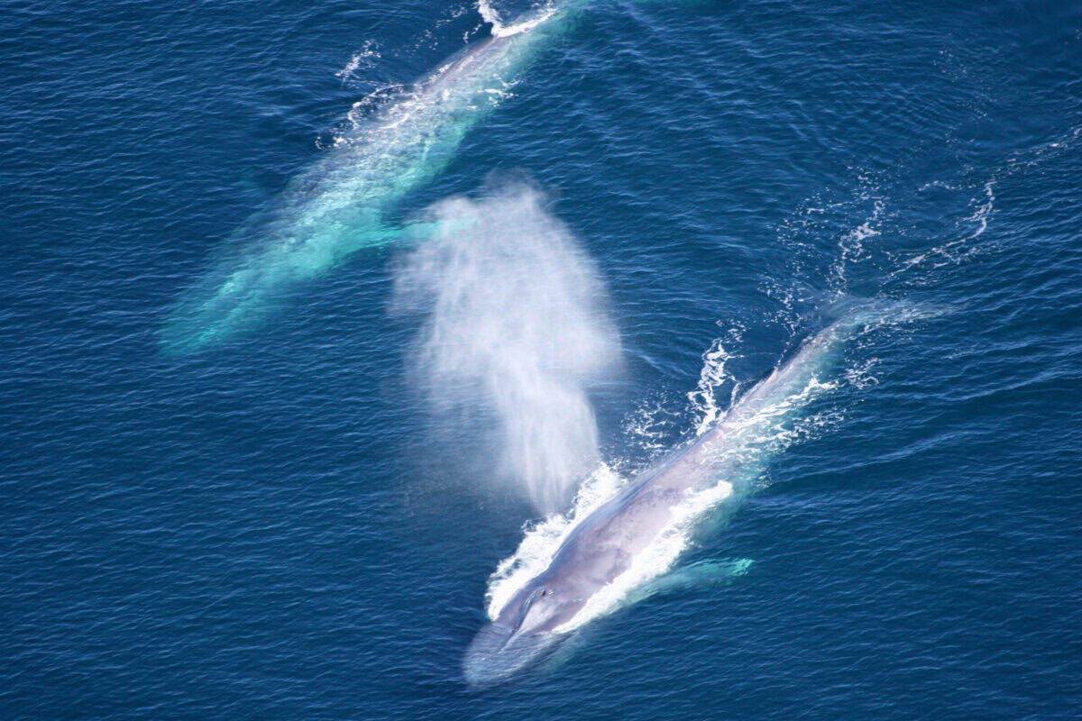
The field of passive acoustic mapping using whale songs continues to evolve rapidly. Several promising technologies are under development that could significantly enhance capabilities. Researchers at MIT are designing biomimetic autonomous underwater vehicles that can follow whale pods, recording their vocalizations from optimal positions for seafloor mapping. The European Space Agency is testing satellite-based laser altimetry that can detect subtle ocean surface movements caused by the most powerful whale calls, potentially adding another data layer to mapping efforts. Perhaps most exciting is the development of “acoustic metamaterials” that can amplify specific frequencies in whale songs while filtering out background noise, dramatically improving signal clarity for mapping purposes. Another frontier involves creating predictive models of whale movements based on historical data and oceanographic conditions, allowing for strategic hydrophone placement to maximize mapping coverage. These emerging technologies promise to expand both the resolution and coverage of whale-based mapping in the coming decade.
Ethical Considerations and Whale Conservation
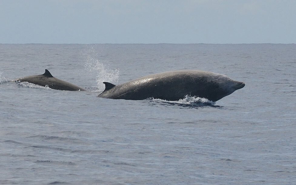
As scientists increasingly rely on whales for mapping purposes, ethical questions naturally arise. Researchers emphasize that this approach involves no interference with the animals—they simply listen to vocalizations whales produce naturally. Nevertheless, the scientific community has established ethical guidelines to ensure research doesn’t inadvertently harm the very creatures it depends upon. Hydrophone deployments are carefully planned to avoid disrupting critical feeding or breeding areas, and equipment is designed to be non-entangling to prevent accidental harm to marine life. Beyond these precautions, the whale mapping technique creates a powerful incentive for whale conservation—the more whales in the ocean, the more effective this mapping approach becomes. This alignment of scientific utility with conservation goals has helped strengthen protection arguments. Several nations have cited the importance of whales for seafloor mapping as additional justification for expanding marine protected areas and enforcing stricter regulations on activities that threaten whale populations.
Conclusion: The Symphony of Science and Nature

The use of whale songs to map the ocean floor represents one of the most elegant intersections of biology and geology in modern science. By leveraging the natural behaviors of these magnificent marine mammals, researchers have developed a mapping approach that is simultaneously more sustainable, less invasive, and potentially more comprehensive than traditional methods. This technique not only advances our understanding of the physical world beneath the waves but also deepens our appreciation for the complex roles whales play in ocean ecosystems. As technology continues to improve and international collaboration expands, whale-based mapping will likely become an increasingly important tool in oceanography, complementing rather than replacing conventional approaches. Perhaps most profoundly, this research demonstrates how solutions to scientific challenges can sometimes be found not by imposing technology on nature, but by listening carefully to what nature is already telling us.

- 10 Fastest Racing Dog Breeds You Must Know - July 19, 2026
- The Story of the Arctic Fox’s Incredible Seasonal Transformation - July 18, 2026
- 10 Most Venomous Snakes in US National Parks - July 18, 2026