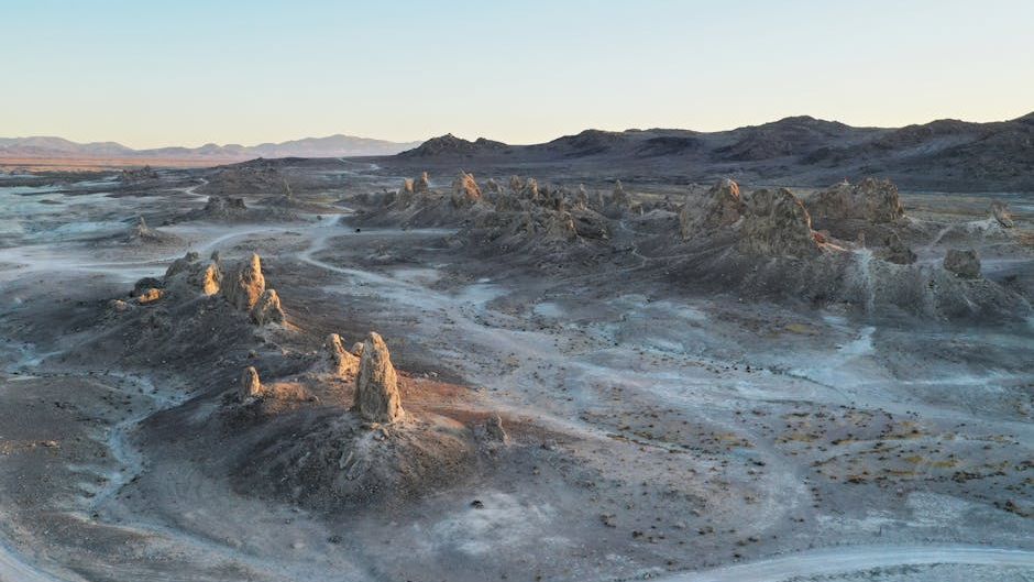
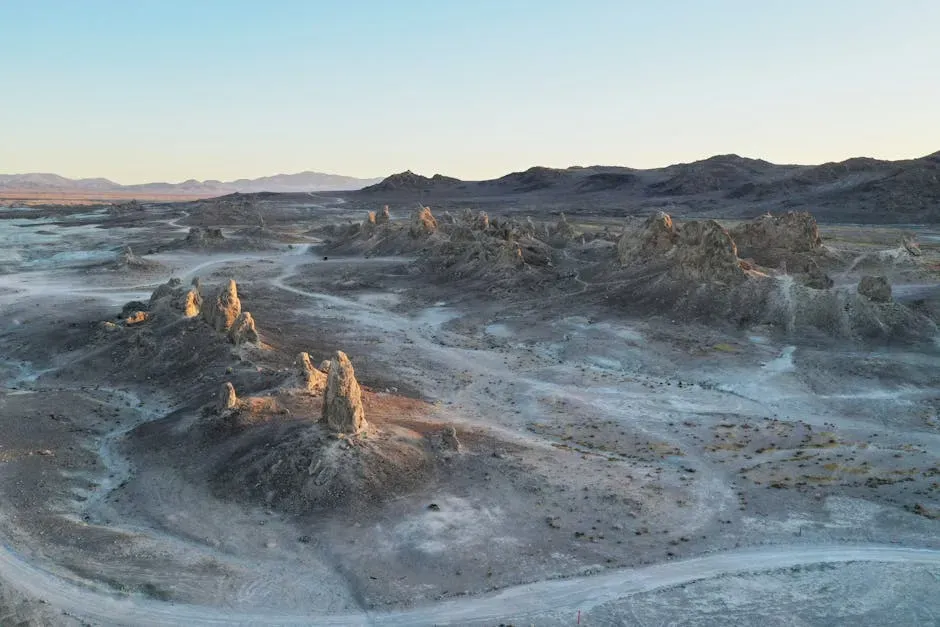
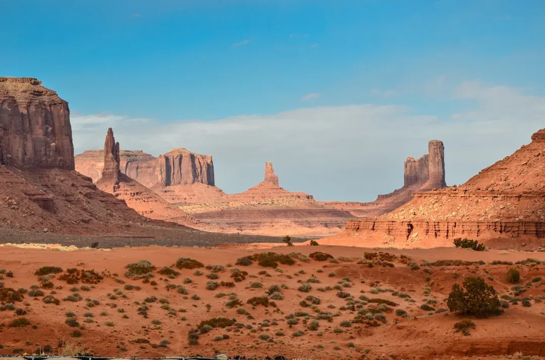
Drive across the American Southwest and what you see is largely what the land wants you to see: cracked earth, sparse scrub, rock stained rust and gold by sun and wind. It’s a landscape that seems to hold everything at the surface. Yet the ground underfoot tells a far more layered story, one written over hundreds of millions of years in stone, water, bone, and the quiet evidence of vanished lives.
Beneath those dry flats and dusty basins lies a world of startling complexity. There are ghost rivers moving in near-total silence, aquifers ancient enough to hold water from climates that no longer exist, and the buried ruins of cultures that engineered with a sophistication that still draws admiration. The desert floor is less an ending than a beginning of something much deeper.
A Geological Foundation Built Over Billions of Years
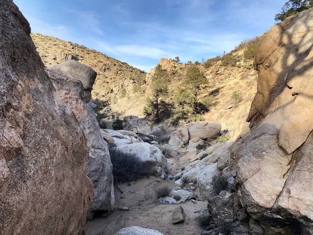
The Sonoran Desert sits within a region geologists call the Basin and Range province, a vast country of broad, low-elevation valleys rimmed by long, thin, parallel mountain ranges that extend from northern Mexico across much of Arizona, California, Utah, and Nevada. It’s one of the most tectonically active landscape arrangements on the continent.
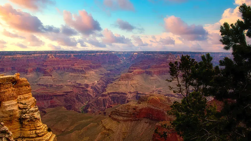
The Colorado Plateau is underlain by Precambrian basement rock exposed in the deep gorge of Arizona’s Grand Canyon. The schists and gneisses found at the base of the canyon are between 1.9 and 1.7 billion years old and are the product of colliding tectonic plates. That’s not just old rock. That’s the very foundation of a continent, visible to anyone willing to look down.
Granite intrusions from later volcanic episodes remain mostly buried beneath the surface, detectable only by magnetic surveys. Volcanic lava and ash flows, now deeply eroded, cover the countryside above those buried granite bodies. In other words, much of what shaped this land is still hidden from view, recorded only in the instruments scientists drag across the terrain.
When the Desert Was a Sea
Stand anywhere in California’s Ocotillo Wells area and you’re standing on ocean floor. Not metaphorically, but literally. During the Miocene and Pliocene epochs, roughly four to six million years ago, the Colorado Desert was submerged beneath a saltwater sea connected to the Gulf of California. It’s a fact that takes a moment to fully absorb.
Geologists call this marine legacy the Imperial Formation, layers of claystone and siltstone rich with fossilized marine life. The formation tells a remarkably complete story of the ancient sea, preserved in sediment that accumulated on the ocean floor over millions of years. You can still reach out and touch fossilized oyster shells right there in the California desert.
During the Precambrian, Arizona was home to a shallow sea, which was home to jellyfish and stromatolite-forming bacteria. This sea was still present during the Cambrian period and was home to brachiopods and trilobites, then withdrew during the Ordovician and Silurian. The sea returned during the Devonian and was home to brachiopods, corals, and fishes. The desert didn’t always know what it was. For long stretches of deep time, it was something else entirely.
Hidden Rivers That Never Stopped Flowing
Flowing into the heart of the Mojave Desert, the Mojave River exists mostly underground. Surface channels are usually dry, absent occasional groundwater surfacing and flooding from extreme weather events. It’s been called a ghost river, and the name fits perfectly.
Over thousands of years, it became the ghost river we know today. Now it flows mostly beneath the desert floor, surfacing briefly after storms or in spots where rock formations push it upward. In some stretches, the presence of the river can be read not by looking at the ground but by finding the cottonwood trees that mark its invisible path.
Despite receiving as little as two inches of rainfall annually, the Amargosa River region sustains a river roughly the same length as the UK’s River Thames. The Amargosa flows perennially and has been federally designated as a National Wild and Protected River. Unlike virtually every other waterway that shares its legal status, the Amargosa runs underground for the majority of its length. Two rivers, both largely invisible. The desert hides its own veins.
Ancient Aquifers: Water Stored for Thousands of Years
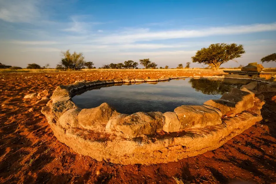
During the rainy season in southern Arizona, water seeps into the ground and is stored in large underground formations called aquifers. Groundwater in aquifers can be brought to the surface by natural springs or wells. These systems operate on timescales that are difficult to fully grasp from a human perspective.
Research in the Santa Cruz Basin has revealed numerous deep aquifers, some reaching roughly 2,500 feet below the surface. Where sediments are fractured, channels form that allow water to flow at deeper levels. The sediments let water through easily and are also porous, storing even more water. Finding those layers changed what water managers believed possible in one of the driest regions of the country.
The water that comes gushing out of the seeps and pools at Ash Meadows fell as rain thousands of years ago, when the Mojave had a savannah climate and inland seas. Over the millennia, it slowly saturated the rock and formed one of the Southwest’s largest aquifers, acting like a massive delay switch that transported a savannah river into modern-day badlands. Drinking water from the desert. Stored from a wetter world.
Minerals, Lava Tubes, and the Volcanic Underworld
The formation of the Mojave Desert’s mineral deposits dates back millions of years. Volcanic activity, shifting tectonic plates, and erosion worked together to create underground pockets rich with minerals. Gold, silver, iron, tungsten, borax, and copper all lie embedded in the rock beneath the desert floor in varying concentrations.
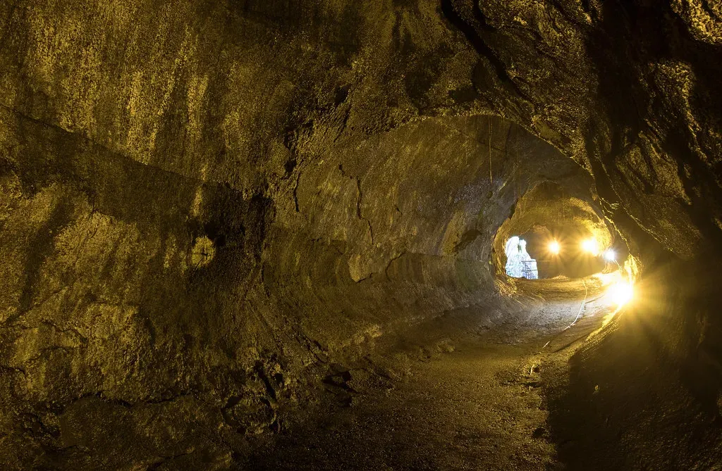
Younger volcanic rocks formed during the last ten million years include basalt, a dark-colored volcanic rock rich in iron, magnesium, and calcium that formed beneath the continent during pull-apart actions and rose along deep cracks. Basaltic eruptions are non-explosive and produce lavas that spread quickly across valley floors. That spreading created another remarkable feature: the lava tube.
Formed by an ancient river of lava that has long since disappeared, visitors to the Cima lava tube in Mojave National Preserve can descend into a small, dark cave system that opens up into a chamber. Within this chamber, light passes through openings in the cave ceiling, casting beams of light onto the floor and walls. It’s a space that feels, by most accounts, more cathedral than cave.
Buried Civilizations Beneath the Modern Desert
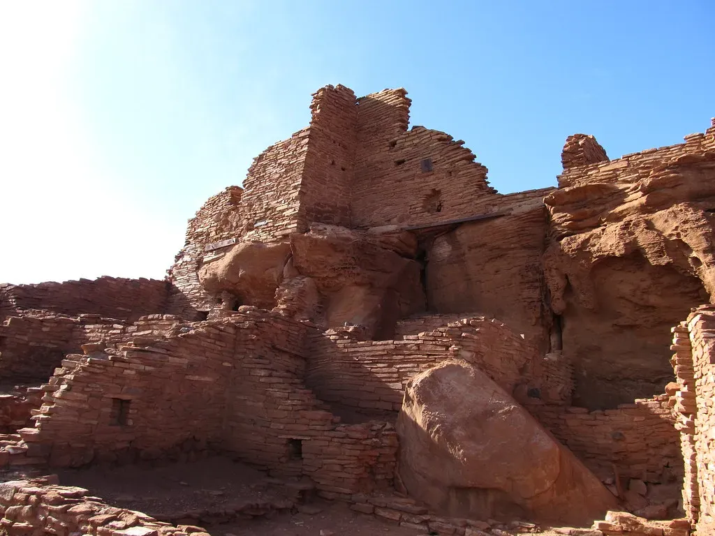
The Hohokam were a culture in what is now part of south-central Arizona and Sonora, Mexico, who existed between roughly 300 and 1500 CE, with cultural precursors possibly as early as 300 BCE. Long before Phoenix existed, a civilization of considerable sophistication occupied this same desert floor.
People in the Hohokam region employed massive-scale irrigation farming. Their vast canal networks include some canals more than 20 miles long. There are more than 500 miles of documented canals in the region, representing the largest-scale irrigation in North America. Much of it lies beneath the streets of modern Phoenix, unmarked and undisturbed.
Many Hohokam sites are now under modern-day Phoenix. The broader archaeological landscape of the Hohokam, much of which lies buried beneath modern Phoenix, faces constant pressure from development. Developers are required to conduct archaeological surveys, but accidental discoveries still occur, and the sheer volume of construction means that many sites are either lost or only partially documented. A civilization endures just below the surface of daily life.
Fossils and the Deep Memory of the Land
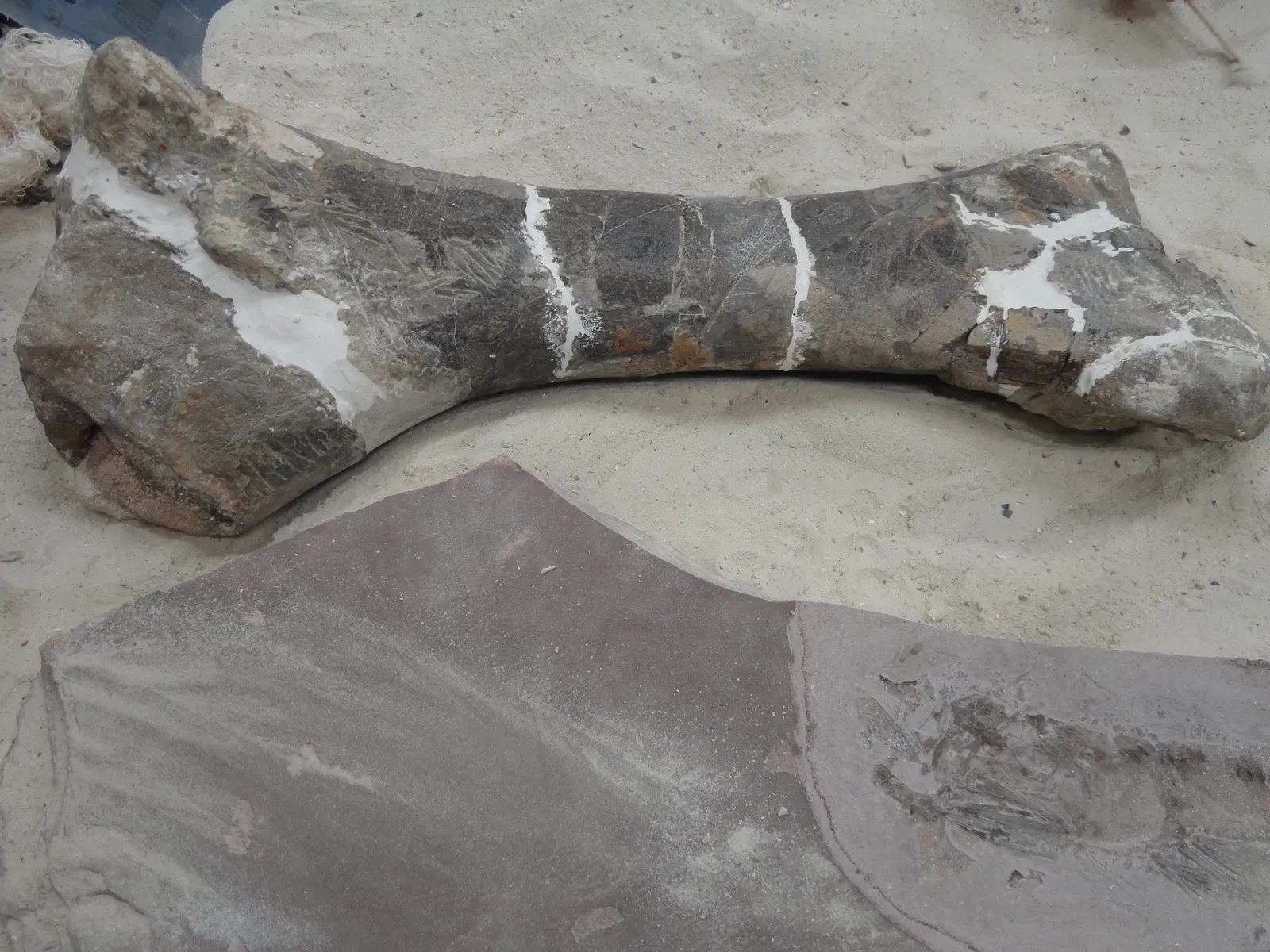
The badlands of Anza Borrego Desert State Park are rich in Pleistocene fossils two million to 20,000 years in age. Prehistoric mammoths and mastodons, giant ground sloths, camels, and more have been excavated from that region. In a place that seems to barely support a lizard, the remains of enormous creatures from a wetter, cooler era are still being pulled from the earth.
During the Cretaceous period, part of eastern Arizona was covered by the Western Interior Seaway, home to marine reptiles including plesiosaurs and turtles. Most of Arizona was dry land during the Cenozoic era, when the state was inhabited by wildlife including camels, horses, mastodons, and giant ground sloths. The fossil record beneath the desert floor is, in this sense, a complete atlas of lost worlds.
At the time when Pangaea began to break up during the early Jurassic, vast sand dune fields covered much of the Southwestern US, forming thick cross-bedded layers of sandstone. The early Jurassic sediments of the Colorado Plateau represent some of the world’s best geological records from this time interval. Every layer underfoot is a chapter. Most people walk right over them without knowing it.
Conclusion: The Desert Floor as a Document
The American Southwest has a way of making things look simpler than they are. A flat stretch of ground, a cloudless sky, a horizon that never seems to move. But the ground itself is the most complicated thing in the landscape.
Beneath it: vanished oceans, invisible rivers, billion-year-old rock, the canal networks of lost civilizations, aquifers carrying rain from climates that no longer exist, and fossils of creatures that belong to a version of this continent most people have never imagined. The desert keeps all of it.
What’s most striking, perhaps, is how much of this hidden world remains actively relevant. The aquifers supply real cities. The buried canals inform modern water engineering. The geological faults still move. The desert floor isn’t history. It’s the ground that everything happening right now is standing on.
- Neuroscience Says When a Dog Brings You a Toy When You’re Upset It Isn’t Looking for Play – Something in Its Brain Detected a Shift in Your Emotional Chemistry That You Hadn’t Fully Registered Yourself - June 12, 2026
- Psychology Says When a Parrot Repeats Words in an Empty Room With No One There to Perform For It’s Not Mimicry – It’s Something Closer to Practice and the Distinction Matters More Than It First Seems - June 12, 2026
- Could Elephants Be More Empathetic Than We Are? Science Thinks So - June 12, 2026