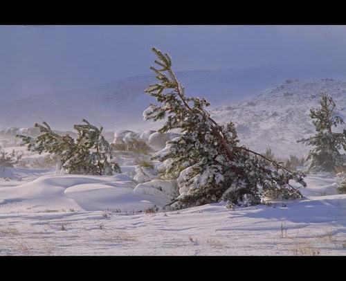
When winter delivers unexpectedly frigid blasts to the southern United States, particularly Texas, meteorologists often point to a complex atmospheric phenomenon originating thousands of miles away in the Arctic. These polar intrusions have caused devastating cold snaps in Texas, including the catastrophic February 2021 freeze that crippled the state’s power grid and left millions without electricity and water. Understanding these Arctic wind patterns has become increasingly important as climate change potentially alters their behavior and impacts. This article explores the meteorological mechanisms behind these polar incursions, their historical context, and what Texans might expect in the future.
The Polar Vortex: Arctic’s Atmospheric Gatekeeper
At the heart of Arctic-driven cold snaps lies the polar vortex—a large area of low pressure and cold air surrounding the Earth’s poles. The polar vortex is not a new phenomenon or a storm system that moves into an area like a hurricane or nor’easter. Rather, it’s a semi-permanent feature that strengthens in winter and weakens in summer. When intact and strong, the polar vortex acts as a containment system, keeping the coldest air locked near the poles. The vortex is maintained by the temperature difference between the poles and mid-latitudes, creating strong upper-level winds known as the polar night jet that circulate west to east, effectively creating a boundary that keeps Arctic air contained in northern regions.
Sudden Stratospheric Warming: The Vortex Disruptor
The most dramatic disruptions to the polar vortex come from events called Sudden Stratospheric Warmings (SSWs). During an SSW, temperatures in the stratosphere above the Arctic can rise by as much as 50°C (90°F) within just a few days. This rapid warming weakens and sometimes splits the polar vortex, distorting its shape and allowing the jet stream to meander more dramatically. SSWs occur when large-scale atmospheric waves—generated by air moving over mountain ranges or by temperature contrasts between land and sea—propagate upward into the stratosphere and disrupt the normal flow of the polar vortex. When these events occur, they set in motion a chain reaction that can eventually bring Arctic air southward weeks later.
The Role of the Jet Stream in Delivering Cold to Texas
The jet stream serves as the delivery mechanism that brings polar air to Texas. This fast-moving river of air typically flows from west to east across North America, acting as a boundary between cold northern air and warmer southern air. When the polar vortex weakens or splits, the jet stream can develop large north-south meanders called Rossby waves. These waves create what meteorologists call “ridges” (northward bulges of warm air) and “troughs” (southward dips of cold air). When a deep trough develops over the central or eastern United States, it creates a pathway for Arctic air to plunge southward into regions like Texas that rarely experience such extreme cold. This configuration is precisely what occurred during the February 2021 Texas freeze, when temperatures in Dallas plunged to -2°F (-19°C), the city’s coldest reading since 1949.
Arctic Oscillation: The Atmospheric Seesaw
The Arctic Oscillation (AO) is another critical factor in determining whether cold Arctic air will escape southward. The AO describes the relationship between atmospheric pressure over the Arctic and the pressure at mid-latitudes. When the AO is in its positive phase, lower pressure dominates the polar region, and the jet stream maintains a more circular, stronger flow that effectively contains cold air in the north. However, when the AO shifts to its negative phase, higher pressure builds over the Arctic, weakening the circumpolar flow and allowing cold air to spill southward. During the February 2021 Texas freeze, the AO had shifted into a strongly negative phase, contributing to the extreme cold outbreak. The AO can change relatively quickly, sometimes shifting from one phase to another over periods of weeks or even days.
Texas’s Unique Vulnerability to Arctic Outbreaks
Texas’s geography makes it particularly vulnerable to Arctic outbreaks compared to other southern states. With no major mountain barriers to the north, the flat terrain of the Great Plains creates an unobstructed pathway—sometimes called the “cold air express”—for frigid air masses to surge southward from Canada. Additionally, Texas’s large size and varied topography mean that polar air can affect the state differently across regions. The Panhandle and North Texas typically experience the brunt of these cold snaps first and most severely, while coastal areas may be somewhat moderated by Gulf of Mexico warmth. However, when truly exceptional Arctic outbreaks occur, even South Texas and the Gulf Coast can experience freezing temperatures, creating hazardous conditions in areas with infrastructure not designed for such extremes.
Historical Pattern of Texas Cold Snaps
While the February 2021 freeze drew national attention, Texas has a long history of Arctic outbreaks. Notable historical cold waves include the February 1899 “Great Arctic Outbreak” that brought record cold to the entire state, with temperatures reaching -8°F in Dallas and snow falling as far south as Brownsville. The December 1983 cold wave shattered records across Texas, with temperatures dropping to -8°F in Lubbock and 14°F in Houston. February 2011 saw another significant cold snap that caused rolling blackouts throughout the state. These historical events demonstrate that while extreme cold in Texas is relatively rare, it is a recurring feature of the state’s climate. What makes recent events particularly concerning is their potential increasing frequency and the state’s growing population and infrastructure that remains vulnerable to such extremes.
Arctic Amplification and Climate Change Connection
Climate change adds a complex dimension to understanding Arctic air outbreaks affecting Texas. The Arctic is warming at more than twice the rate of the global average—a phenomenon known as Arctic amplification. This disproportionate warming reduces the temperature gradient between the Arctic and mid-latitudes, potentially weakening the polar jet stream. A weaker jet stream tends to meander more, creating the large Rossby waves that can bring both extreme heat and cold. Some climate scientists theorize that Arctic amplification may increase the frequency of polar vortex disruptions and subsequent cold air outbreaks, though this remains an active area of research with scientific debate. The apparent paradox of global warming contributing to extreme cold events illustrates the complex, non-intuitive nature of climate change impacts on weather patterns.
Forecasting Challenges for Texas Cold Snaps
Predicting Arctic outbreaks for Texas presents significant challenges for meteorologists. While weather models have improved dramatically in recent decades, forecasting the exact timing, duration, and intensity of polar vortex disruptions remains difficult, especially beyond a 10-day window. Meteorologists monitor several indicators to anticipate potential cold outbreaks, including stratospheric temperatures over the Arctic, the phase of the Arctic Oscillation, and large-scale atmospheric wave patterns. The February 2021 freeze demonstrated both the capabilities and limitations of modern forecasting—while models correctly predicted the arrival of Arctic air about two weeks in advance, the extreme nature of the event and its duration exceeded many initial forecasts. This uncertainty complicates emergency planning and preparation for both government agencies and residents.
Infrastructure Vulnerabilities Exposed by Arctic Blasts
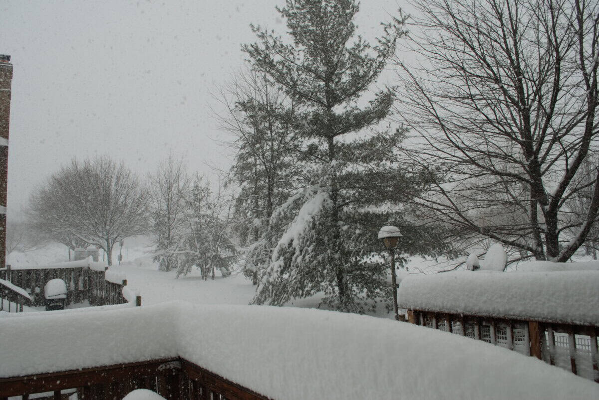
The Arctic outbreaks that strike Texas expose critical vulnerabilities in the state’s infrastructure, most catastrophically demonstrated during the February 2021 winter storm. Texas’s independent power grid, managed by the Electric Reliability Council of Texas (ERCOT), faced unprecedented demand while simultaneously experiencing supply failures as natural gas wells and pipelines froze, wind turbines iced over, and some coal plants went offline due to freezing instrumentation. Unlike power systems in northern states, much of Texas’s energy infrastructure lacks adequate winterization to handle extended freezing temperatures. Beyond the power grid, water systems failed as pipes froze and burst, transportation networks became impassable due to ice, and food supply chains were disrupted. These cascading failures highlighted how interdependent modern infrastructure systems are and how a single meteorological event can trigger widespread systemic collapse when cold-weather resilience is inadequate.
Economic and Human Impact of Texas Freezes
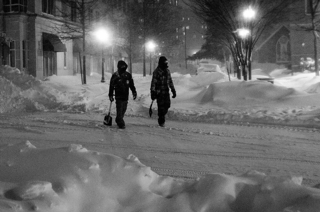
The economic and human toll of Arctic outbreaks in Texas has been severe. The February 2021 winter storm resulted in at least 246 deaths across the state, according to the Texas Department of State Health Services, with causes ranging from hypothermia to carbon monoxide poisoning as people sought alternative heating methods. The economic damage reached approximately $130 billion, making it one of the costliest natural disasters in Texas history. Beyond these direct impacts, Arctic blasts affect Texans unequally, with lower-income communities and people of color often experiencing disproportionate hardship due to older housing stock, limited financial resources for emergency supplies, and less accessible transportation options during weather emergencies. Agricultural losses also mount during these events, as livestock die from exposure and cold-sensitive crops like citrus in the Rio Grande Valley suffer catastrophic damage.
Adaptation Strategies for Future Arctic Incursions
Following the 2021 disaster, Texas has begun implementing various adaptation strategies to better withstand future Arctic air outbreaks. The state legislature passed Senate Bill 3, requiring power generators and natural gas facilities to weatherize their equipment, though critics argue the regulations don’t go far enough and implementation has been inconsistent. ERCOT has revised its operating procedures to bring more generation online earlier when extreme weather is forecast. At the local level, cities are updating emergency response plans, creating more robust warming centers, and improving communication systems to reach vulnerable populations. For individual Texans, recommendations include winterizing homes with pipe insulation and weather stripping, maintaining emergency supplies of food, water, and medication, and creating household emergency plans. While these efforts represent progress, experts warn that more comprehensive grid improvements and climate adaptation measures are needed to truly protect Texans from future polar vortex disruptions.
Prediction Models for the Coming Decades
Climate models offer competing projections about future Arctic outbreaks affecting Texas. Some research suggests that while global average temperatures rise, paradoxically, the risk of occasional extreme winter weather in places like Texas may persist or even increase in the near term due to polar vortex destabilization. Other models indicate that the overall warming trend will gradually reduce the intensity of cold snaps over the long term, even if individual extreme events still occur. What most climate scientists agree on is that weather variability and extremes—both hot and cold—are likely to increase in the coming decades. For Texas, this could mean continued vulnerability to occasional Arctic blasts alongside more frequent and intense heat waves and drought. This combination presents a challenging planning scenario for infrastructure that must be resilient to both extremes of the temperature spectrum.
Conclusion: Preparing for an Uncertain Arctic Influence

The Arctic wind patterns that occasionally deliver brutal cold to Texas represent a complex interplay of atmospheric dynamics thousands of miles away. While these events have occurred throughout Texas’s recorded history, climate change introduces new uncertainties about their future frequency and intensity. The catastrophic 2021 winter storm served as a stark reminder of how vulnerable modern society remains to extreme weather, despite technological advances. Moving forward, Texas faces critical choices about how to balance infrastructure investment, emergency preparedness, and long-term climate adaptation. For individual Texans, understanding these Arctic connections provides context for why seemingly contradictory weather extremes can occur in an overall warming climate. As researchers continue to study the changing behavior of the polar vortex and jet stream, this knowledge will be essential for building resilience to whatever Arctic influences lie ahead.
- How Sea Lions Navigate Thousands of Miles Without Maps - August 9, 2025
- The Most Elusive Mountain Lions Roaming the California Wilderness - August 9, 2025
- Bald Eagles Are Now Nesting in the Most Unexpected States - August 9, 2025