Volcanoes, with their awe-inspiring formations and explosive potential, capture the imagination and instill a sense of respect and curiosity in equal measure. Among the many volcanic marvels of the United States, one stands out as a significant focal point for volcanologists and disaster preparedness experts: Mount Rainier. This imposing stratovolcano, situated in the Pacific Northwest, is considered one of the most dangerous volcanoes in the nation. What makes this mountain such a formidable threat, and why are experts paying close attention to it? Let’s explore the story of Mount Rainier and the watchful eyes it attracts.
Location and Geological Significance
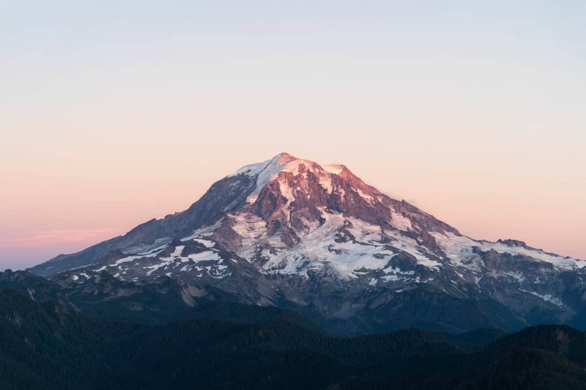
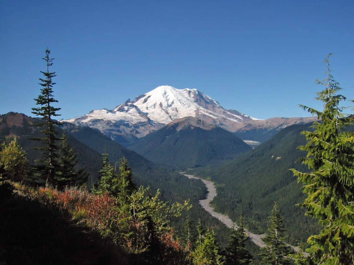
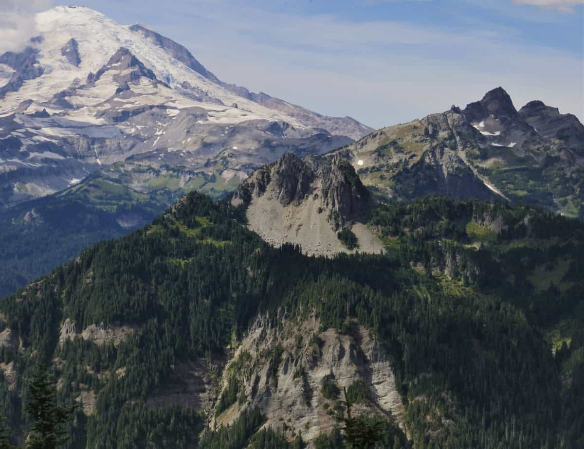
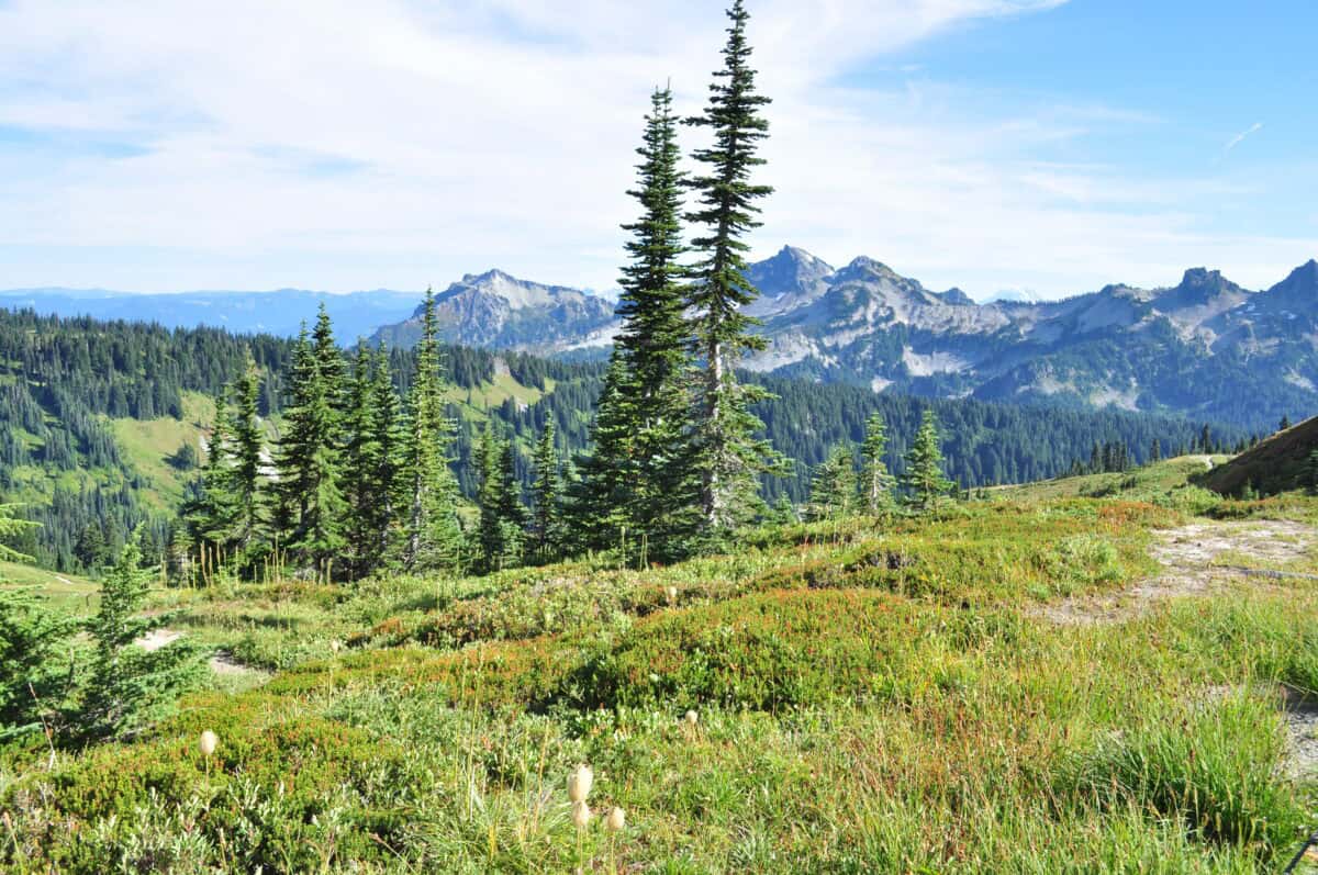
Mount Rainier towers over the landscape of Washington state, situated within the Cascade Range, a volcanic arc that spans from northern California to southern British Columbia. Its location near populated areas, including the Seattle metropolitan region, contributes significantly to its status as a dangerous volcano. This mountain serves as a geological reminder of the dynamic forces shaping the Pacific Northwest and the broader Ring of Fire, where oceanic and continental plates converge.
Physical Characteristics of Mount Rainier
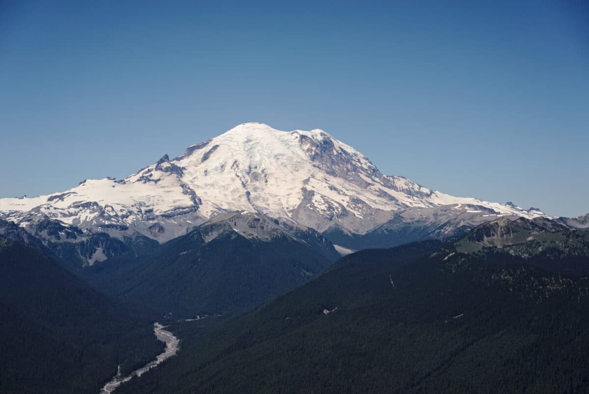
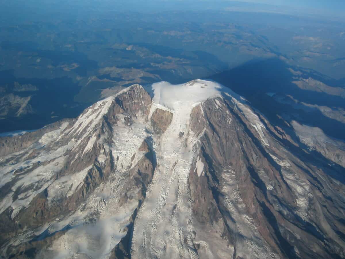
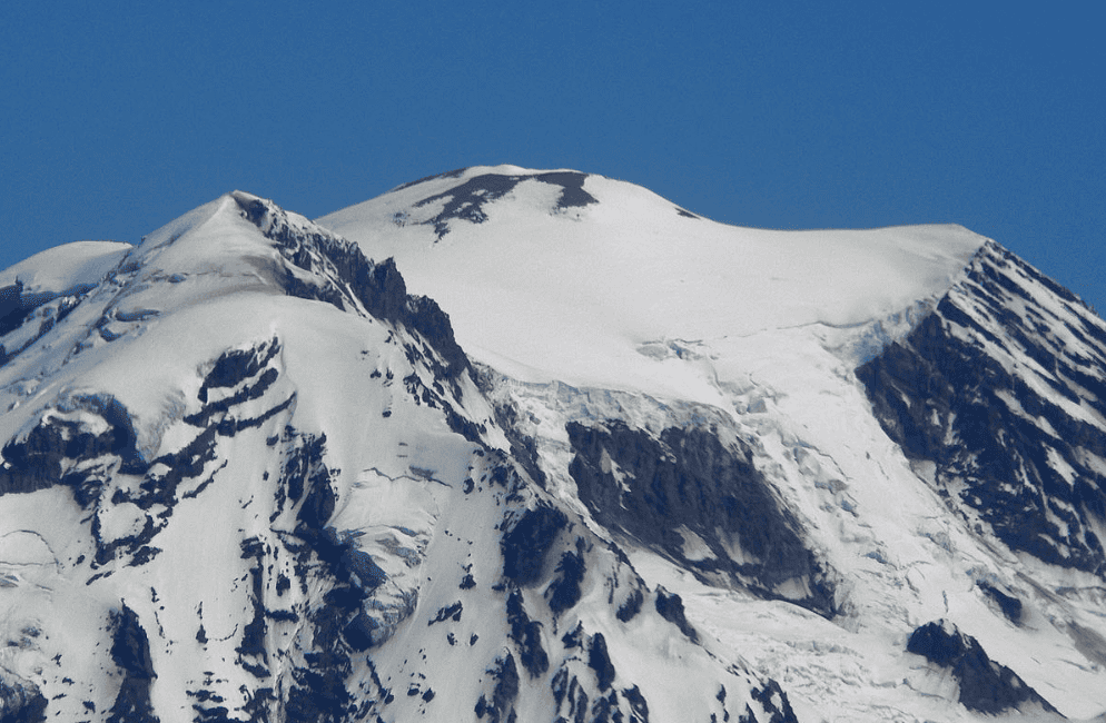
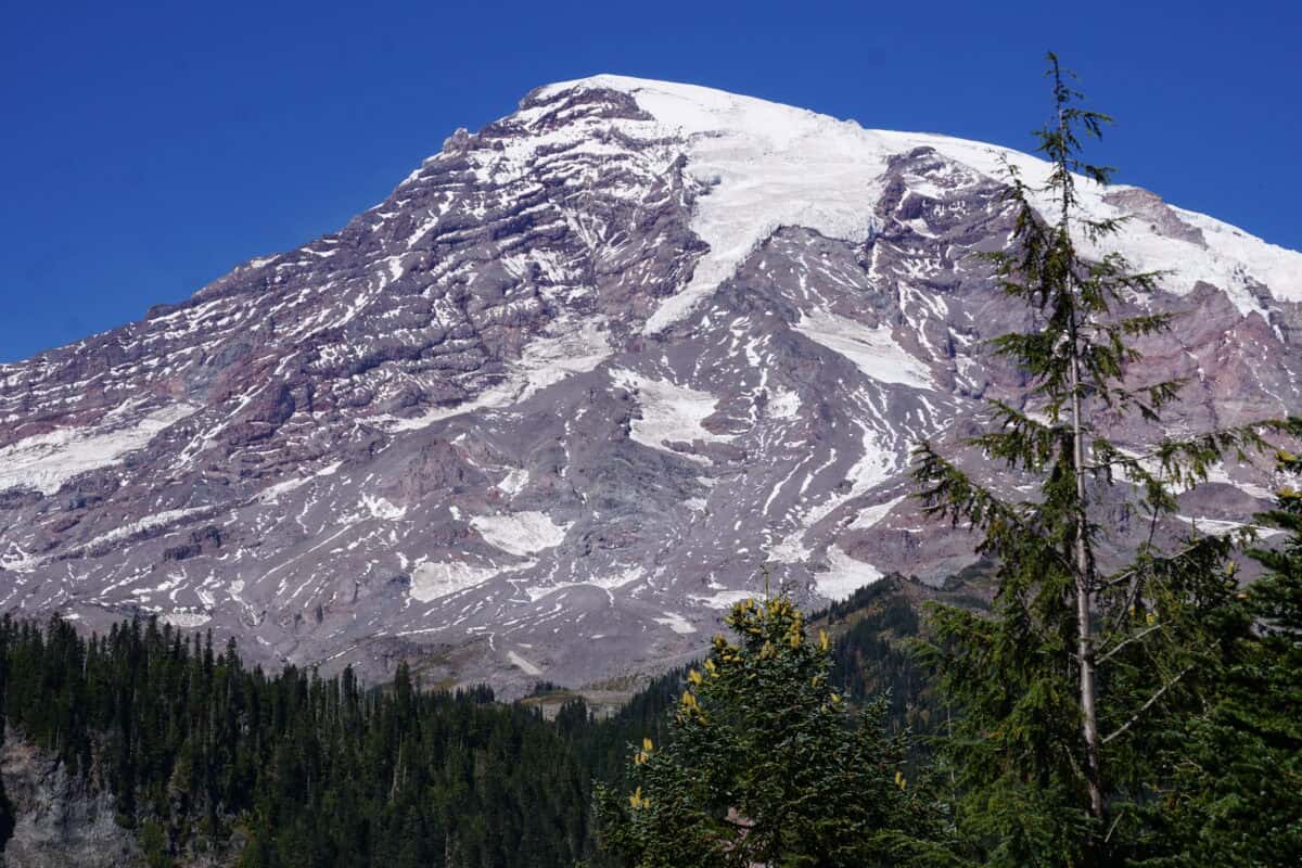
Standing at 14,411 feet, Mount Rainier is the highest peak in the Cascade Range and is characterized by its massive glaciers and rugged terrain. These glaciers, some among the largest in the contiguous United States, feed numerous rivers in the region and present additional hazards in the event of volcanic activity.
The History of Eruptions
Mount Rainier’s eruptive history is complex and spans many millennia, with the last significant eruption believed to have occurred around 1,000 years ago. However, smaller eruptive events and lahars—volcanic mudflows—are more recent and underscore the mountain’s potential for destruction.
Potential Hazards of Mount Rainier

While the potential for lava flow exists, Mount Rainier’s greatest dangers lie in its capacity to generate large lahars. These fast-moving, slushy avalanches of water, mud, and debris can travel great distances, engulfing everything in their path. Given their speed and reach, lahars pose a substantial risk to communities situated in the river valleys below the volcano.
Impact on Nearby Communities
The dense population surrounding Mount Rainier forms a crucial aspect of its threat profile. Estimates suggest that the region is home to more than 80,000 residents, many of whom could be affected by volcanic activity or lahars. The proximity of cities and infrastructure—such as roads, bridges, and dams—amplifies the potential for significant human and economic impacts.
Monitoring and Early Warning Systems

Given the dangers posed by Mount Rainier, extensive monitoring is in place to detect signs of unrest or impending activity. The United States Geological Survey (USGS) maintains a network of seismometers, GPS stations, and other instruments to track changes in the mountain’s behavior, providing essential data for forecasting and response planning.
The Role of Technology in Volcanic Monitoring

Advancements in technology have revolutionized volcanic monitoring, allowing experts to use satellite imagery, remote sensing, and drone reconnaissance to gather vital information about the volcano’s status. These tools enhance our understanding of Mount Rainier’s current condition and help predict potential shifts in activity.
Preparedness and Public Awareness

Public awareness and preparedness are critical components of safely coexisting with a volatile neighbor like Mount Rainier. Local governments, emergency management agencies, and community organizations collaborate to conduct drills, disseminate evacuation routes, and ensure residents understand the risks and how to respond in an emergency.
Environmental Considerations
The ecological impact of volcanic activity on Mount Rainier and its surroundings can be profound. Lava flows, ash deposits, and lahars can alter landscapes, destroy habitats, and affect local flora and fauna. Monitoring environmental changes informs both conservation efforts and hazard preparedness strategies.
The Intersection of Science and Policy
Policymaking informed by scientific research plays a crucial role in managing volcanic risks. Government agencies and researchers work together to implement regulations, land-use planning, and risk mitigation strategies, ensuring that policy frameworks reflect the latest scientific understanding and serve public safety.
The Importance of Continuous Research
Ongoing research into Mount Rainier’s geological activity contributes significantly to refining hazard models and improving prediction capabilities. Collaborative efforts between universities, research institutions, and government agencies drive innovation and enhance our ability to interpret and respond to volcanic threats.
Looking to the Future
As the most dangerous volcano in the United States, Mount Rainier demands our respect and vigilance. The intersection of nature’s power and human proximity compels us to understand, monitor, and prepare for the challenges it presents. By leveraging scientific advances and fostering community resilience, we can coexist more safely with this magnificent, unpredictable giant.
In summary, Mount Rainier’s unique combination of size, location, and potential for large-scale lahars makes it a focal point for volcanologists and emergency planners alike. As we continue to refine our understanding of this formidable volcano, we equip ourselves better to face the uncertainties it presents, safeguarding both lives and landscapes in the shadow of its mighty presence.
- The Most Monstrous Prehistoric Shark That Made Megalodon Look Small - August 24, 2025
- The Science Behind Fish Breathing Underwater - August 24, 2025
- The Fastest Animal Migration in North America - August 24, 2025