
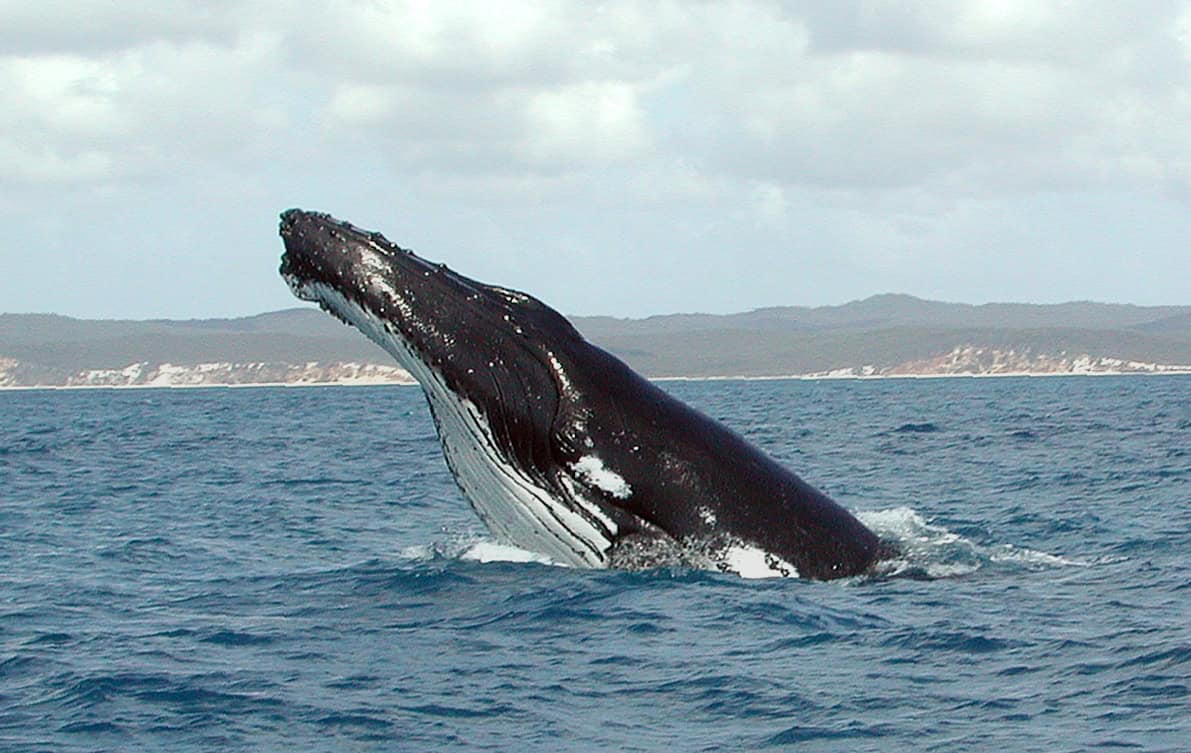
In the vast, mysterious depths of our oceans, where traditional mapping technologies struggle to reach, scientists have discovered an unexpected ally: whales. These magnificent marine mammals, known for their haunting and complex songs, are now helping researchers create detailed maps of the ocean floor in ways previously thought impossible.
This innovative approach combines bioacoustics, oceanography, and advanced data processing to transform our understanding of the seabed while providing new insights into whale behavior and marine ecosystems. The technique, known as passive acoustic sensing, is revolutionizing our approach to deep-sea cartography by utilizing naturally occurring sounds rather than disruptive active sonar systems that can harm marine life.
The Challenge of Mapping Our Ocean Depths

Despite oceans covering over 70% of Earth’s surface, we have mapped less than 25% of the ocean floor at high resolution. Traditional ocean floor mapping methods face significant limitations: ship-based sonar systems are expensive to operate, limited in range, and can cover only small areas at a time. Meanwhile, satellite-based methods provide broad coverage but lack detailed resolution for features smaller than about 1.5 kilometers.
These technological constraints have left vast regions of our ocean floor—particularly in remote or deep areas—largely unexplored and poorly understood. This knowledge gap impacts our understanding of geological processes, marine habitats, and even climate change predictions, as seafloor topography influences ocean currents that distribute heat around the planet.
The Unique Properties of Whale Vocalizations

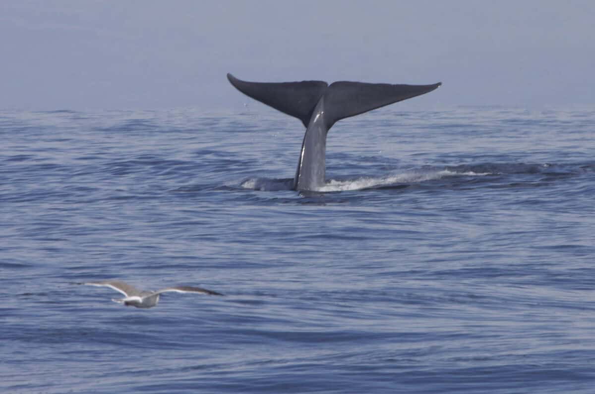
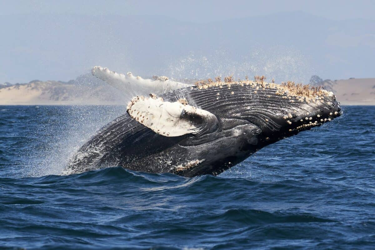
Whale vocalizations, particularly those of baleen whales like blue, fin, and humpback whales, possess unique characteristics that make them ideal for acoustic mapping. These mammals produce some of the loudest biological sounds on Earth, with calls that can reach 180-190 decibels and travel hundreds or even thousands of kilometers underwater.
Unlike human-made sonar, which typically operates at higher frequencies, whale vocalizations often contain powerful low-frequency components (between 10-200 Hz) that can penetrate deep into the ocean floor and reflect back with information about geological structures. Different whale species produce distinct vocal patterns—from the complex “songs” of humpbacks to the pulsed “20-Hz” calls of fin whales—providing researchers with a diverse acoustic toolkit for studying different depth ranges and seabed compositions.
How Whale Songs Interact with the Ocean Floor
When whales vocalize, they generate sound waves that travel through water and interact with the ocean floor in complex ways. Some of this sound energy reflects directly off the seafloor, while some penetrates the sediment and bedrock, reflecting from deeper layers or refracting through different materials. By analyzing these reflected and refracted signals, scientists can determine properties such as seafloor depth, sediment thickness, and even composition.
This works similarly to how medical ultrasound creates images of internal organs, but on a much larger scale. The varying densities and structures of the ocean floor create distinctive acoustic “signatures” in the reflected whale sounds, which researchers can decode using sophisticated signal processing algorithms. This approach provides information not just about topography but also about geological composition—a significant advantage over many traditional mapping methods.
The Technology Behind Passive Acoustic Mapping

The scientific process of using whale songs for ocean mapping relies on a network of hydrophones—underwater microphones deployed at strategic locations throughout the oceans. These hydrophones can be attached to fixed moorings, drifting buoys, unmanned underwater vehicles, or seafloor observatories that form integrated acoustic monitoring networks. The recorded data undergoes complex signal processing to isolate whale vocalizations from other ocean sounds and analyze their reflections.
Advanced computational techniques, including machine learning algorithms, help distinguish between direct sounds and their echoes, even when they overlap or arrive from multiple directions. Time-difference-of-arrival calculations between multiple hydrophones allow precise triangulation of both whale positions and the reflecting points on the seafloor. This technology has evolved dramatically in recent years, with improvements in digital signal processing, battery life, and data storage capacity enabling longer deployments and more sophisticated analysis than ever before.
Pioneer Projects in Whale-Based Seabed Mapping

Several groundbreaking research initiatives have demonstrated the potential of whale-based mapping. In 2019, a team led by researchers from Oregon State University used fin whale calls recorded in the Northeast Pacific to create detailed maps of previously uncharted seamounts. Their study, published in Science, showed that passive acoustic data could resolve features as small as 10-15 meters—far better resolution than satellite-based methods could achieve in those deep waters.
Another notable project is the Southern Ocean Passive Acoustic Observatory, which has been using recordings of Antarctic blue whales to map remote regions around Antarctica that are challenging to survey with conventional methods due to harsh conditions and seasonal ice cover. The LIDO (Listen to the Deep Ocean) network, spanning multiple ocean basins, has accumulated one of the largest databases of whale vocalizations and their seafloor reflections, providing researchers with valuable data for both ecological studies and seabed mapping efforts.
Advantages Over Traditional Mapping Methods
Using whale vocalizations for ocean mapping offers several distinct advantages over conventional methods. Unlike active sonar, which emits loud sounds that can disturb marine life, passive acoustic monitoring has no negative impact on marine ecosystems. Whales naturally traverse vast ocean areas, including remote regions rarely visited by research vessels, providing data from otherwise inaccessible locations. The technique is also incredibly cost-effective compared to dedicated mapping expeditions, as hydrophone networks can collect data continuously for multiple research purposes simultaneously.
Additionally, whale vocalizations can penetrate sediment layers in ways that some traditional mapping technologies cannot, providing subsurface geological information. Perhaps most importantly, this approach operates on a “collect once, use many times” principle—the same acoustic data provides information about whale populations, ocean ambient noise levels, and seafloor characteristics, maximizing scientific return on investment in ocean observation infrastructure.
Combining Whale Songs with Other Data Sources
To maximize the effectiveness of whale-based mapping, researchers don’t rely on acoustic data alone. They integrate whale song data with information from traditional mapping sources like multibeam sonar, satellite altimetry, and geological samples to create comprehensive models of the ocean floor. This multi-modal approach allows scientists to validate their findings, fill gaps in coverage, and resolve ambiguities in the acoustic data.
Modern geographic information systems (GIS) facilitate this integration, allowing researchers to overlay multiple data types and analyze their relationships. Machine learning algorithms are increasingly important in this process, helping to identify patterns and correlations across diverse datasets that might not be apparent through conventional analysis. These combined approaches have proven particularly valuable in areas like the Arctic, where changing ice conditions are opening new regions for study but also creating unique challenges for traditional survey methods.
Ecological Insights Gained Through Acoustic Mapping

Beyond mapping the physical features of the ocean floor, this research provides valuable ecological insights. The distribution and behavior of whales are often closely tied to seafloor topography, which influences nutrient upwelling and food availability. By simultaneously studying whale movements and ocean floor features, scientists can better understand these ecological relationships. Research in the Mediterranean has shown how sperm whales concentrate their feeding activities around submarine canyons and seamounts, where complex ocean currents create productive hunting grounds.
In the Gulf of Mexico, passive acoustic studies have revealed how rice whales (formerly known as Bryde’s whales) utilize specific bathymetric features for feeding and possibly breeding. These insights help marine conservation efforts by identifying critical habitats that may need protection. The dual-purpose nature of these studies—providing both geological and biological information—makes them particularly valuable in an era of limited research funding and growing environmental challenges.
Technical Challenges and Solutions

Despite its promise, whale-based mapping faces several technical hurdles. Distinguishing between direct whale vocalizations and their echoes requires sophisticated signal processing, especially in acoustically complex environments with multiple sound sources. Variable ocean conditions like thermoclines (temperature boundaries) can refract and distort sound waves, complicating interpretation of the data. The irregular and unpredictable nature of whale vocalizations means coverage may be inconsistent compared to systematic survey methods.
Researchers are addressing these challenges through several innovations: adaptive beamforming algorithms that can focus on sounds from specific directions, machine learning models trained to recognize and separate overlapping acoustic events, and integration of oceanographic data to model sound propagation under varying conditions. Some projects now incorporate animal-borne acoustic tags that record both whale vocalizations and their echoes from known positions, providing calibration data for larger passive acoustic networks. As these technologies mature, the reliability and precision of whale-based mapping continue to improve.
Conservation Implications and Ethical Considerations

The passive nature of this research approach aligns well with conservation values and ethical considerations in marine science. Unlike active sonar surveys, which have been linked to behavioral disruption and even physical harm to marine mammals, passive acoustic monitoring has no direct impact on the animals. By demonstrating the scientific value of living whales through their vocalizations, this research strengthens arguments for their protection as essential components of healthy marine ecosystems. However, researchers must still navigate ethical questions around data ownership, particularly when studying populations that may be culturally significant to indigenous communities.
There are also considerations about whether the increasing deployment of hydrophone networks constitutes a form of acoustic habitat alteration, even if the devices themselves are passive. Leading researchers in the field have developed best practices that include consultation with indigenous knowledge holders, careful evaluation of hydrophone placement to minimize habitat disruption, and open data policies that ensure research benefits are widely shared.
Future Directions in Bioacoustic Mapping

The field of bioacoustic mapping is evolving rapidly, with several promising developments on the horizon. Autonomous underwater vehicles equipped with hydrophone arrays can now follow whale aggregations, collecting concentrated acoustic data in areas of high vocalization activity. Advances in environmental DNA (eDNA) sampling are being combined with acoustic studies to verify species presence and distribution patterns without direct observation. Quantum sensors that can detect minute variations in gravitational fields are being developed to complement acoustic data with precise measurements of seafloor density variations.
International collaborations like the UN Decade of Ocean Science for Sustainable Development (2021-2030) are creating frameworks for standardizing and sharing bioacoustic data across research institutions worldwide. Perhaps most excitingly, some researchers are exploring the potential of using other marine sound sources beyond whale vocalizations—including sounds produced by fish, crustaceans, and even the ambient “snap, crackle, and pop” of certain coral reef ecosystems—to expand coverage to areas where whales are less common.
Impacts on Our Understanding of Marine Geology

The insights gained from whale-based mapping are reshaping our understanding of marine geology in significant ways. In the Gulf of Alaska, passive acoustic mapping has revealed previously unknown fault lines that may influence regional seismic activity. Off the west coast of Africa, whale song reflections have helped identify methane seep fields—important features both for understanding the carbon cycle and potentially for resource exploration. Near Hawaii, the technique has provided new details about the subsurface structure of seamounts, improving models of underwater volcanic systems.
These discoveries highlight how whale-based mapping can complement traditional methods, particularly in providing data about both surface features and subsurface geological structures. The continuous nature of passive acoustic monitoring also allows researchers to observe dynamic processes like submarine landslides or hydrothermal vent evolution that might be missed by infrequent dedicated survey expeditions. This growing body of knowledge enhances our understanding of Earth’s geological processes and helps identify potential marine hazards like underwater landslides that could trigger tsunamis.
Conclusion: A Symphony of Science and Nature

The use of whale songs to map the ocean floor represents a beautiful confluence of biology, acoustics, geology, and advanced computing—a true interdisciplinary triumph in modern ocean science. By listening to the natural symphony of the oceans, researchers have found a way to expand our knowledge of Earth’s last great frontier while minimizing human impact on fragile marine ecosystems. This approach exemplifies how solutions to complex scientific challenges often emerge at the intersection of seemingly unrelated fields.
As passive acoustic networks continue to expand and analytical techniques grow more sophisticated, whale-based mapping will likely play an increasingly important role in our comprehensive understanding of ocean systems. The alliance between these magnificent marine mammals and human scientific inquiry offers not just practical knowledge but also a powerful metaphor for how careful observation of natural processes can unlock profound insights about our planet.
From exploring the marine wonders in the Azores and witnessing the vast savannas of Kenya, to delving deep into the rich biodiversity of South Africa and traversing iconic landscapes in Australia and the US like Yellowstone, Chris's experiences are vast.
With a penchant for diving alongside sharks, the ocean holds a special place in his heart.
Through his academic insights, he champions wildlife conservation, striving with 'Animals Around The Globe' to cultivate a profound connection between humans and animals, enhancing our mutual appreciation.
Connect with him at Feedback@animalsaroundtheglobe.com.
- Why Scientists Are Studying Sloth Fur for Medical Research - August 9, 2025
- New Ice Core Samples Could Rewrite Climate History - August 9, 2025
- The Strongest Dog Breeds That Farmers in Iowa Depend On - August 9, 2025